Cycling and Pedestrian Infrastructure: Lessons from the Netherlands and Denmark
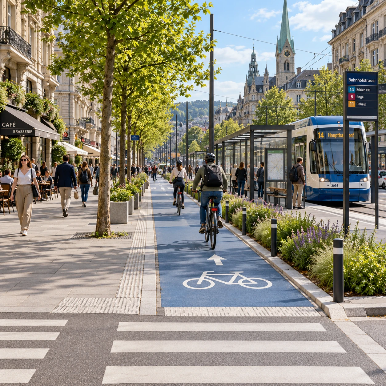
European cities looking to make everyday journeys safer and easier can learn from the Netherlands and Denmark. Both countries have built strong traditions of cycling and walking, but neither offers a single blueprint to copy. Their lasting lesson is to treat active mobility as part of the transport network from the outset, with connected routes, safe junctions, accessible public spaces, and links to public transport.
Why walking and cycling belong in infrastructure planning
Walking and cycling belong in infrastructure planning because they connect homes, services, and transit stops without requiring a car for every trip. When networks are continuous and comfortable, active mobility becomes a practical travel option, not an afterthought squeezed into leftover road space.
This changes how a project is assessed. A road scheme can move vehicles efficiently yet leave people unable to cross safely or reach a bus stop. Planning for pedestrian infrastructure and cycling infrastructure together helps identify those gaps early, before designs and budgets are fixed.
There are wider benefits, too. Safe walking and cycling routes can support access to schools, shops, workplaces, and public transport, while improving the quality of streets and public spaces. But infrastructure alone does not guarantee that more people will walk or cycle. Distance, land use, traffic speeds, weather, personal security, and the availability of reliable transit all shape travel choices.
For European infrastructure projects, the useful starting point is to ask who can make a journey comfortably today, who cannot, and where the network fails them. That question brings road safety, accessibility, and transport connectivity into the same planning conversation.
Dutch and Danish approaches at a glance
The Netherlands and Denmark share a commitment to making cycling and walking practical, but their networks reflect different places, policies, and histories. Both offer valuable examples of integrated planning; neither should be treated as a uniform model that can be copied street for street.
In the Netherlands, cycling is supported by extensive urban and interurban networks, with routes designed to connect everyday destinations. Dutch projects often emphasize directness, separation from motor traffic where needed, and careful treatment of junctions. The approach varies between dense city centers, residential areas, and rural routes.
Denmark, including Copenhagen, is known for sustained investment in cycling routes and for considering the experience of people cycling as part of street design. Some projects prioritize direct urban connections, while others focus on links between municipalities or on improving access to transit. As in the Netherlands, local street patterns and political choices matter.
The shared principle is network thinking: a protected segment has limited value if it ends before a difficult junction or fails to reach a useful destination. The difference lies in how each place applies that principle to local density, geography, travel patterns, and existing infrastructure.
Design for safe, continuous journeys
Safe, continuous journeys depend on routes that protect people where traffic risks are highest and remain legible through crossings and intersections. Protected cycle lanes can help separate cyclists from moving and parked vehicles, but their design must work at junctions as well as along straight sections.
A well-designed route connects neighborhoods to schools, shops, workplaces, parks, and transit stops. It avoids sudden endings, unnecessary detours, and confusing changes in priority. For pedestrians, continuity means clear pavements, accessible crossings, and enough space to walk without being pushed into cycle lanes or traffic.
Intersections deserve particular attention. Conflicts often arise where turning vehicles cross cycle routes or where pedestrians must navigate multiple traffic streams. Depending on traffic speed, volume, and street geometry, a project might use raised crossings, protected waiting areas, shorter crossing distances, clearer signals, or separated cycle crossings. No single treatment fits every junction; designers need to assess movements and visibility on the ground.
Maintenance also affects safety. Poor surfaces, blocked paths, faded markings, and snow or debris can undermine a route that appears complete on a map. A project brief should identify who maintains each section and how quickly defects will be addressed.
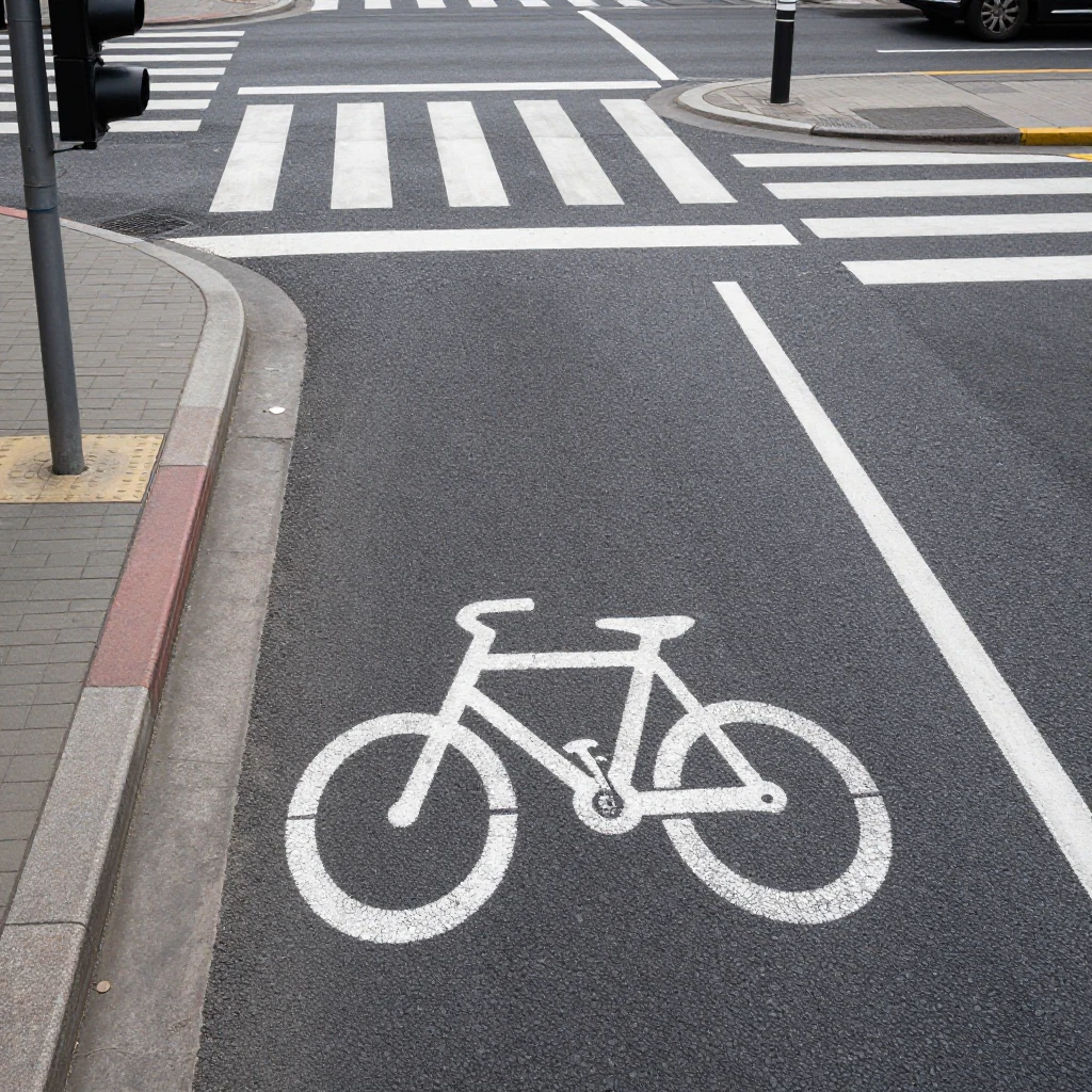
Make walking and cycling accessible to more people
Accessible walking and cycling infrastructure is direct, predictable, and comfortable for people with different ages and abilities. Design choices should help a child, an older adult, a person using a wheelchair, and a confident commuter navigate the same street safely.
For pedestrians, that means continuous, obstruction-free pavements; dropped kerbs or level crossings; enough time to cross; and seating or shade where appropriate. Tactile paving and clear visual cues can support people with visual impairments, while simple layouts make routes easier to understand. Street furniture, parked bicycles, signs, and construction barriers should not narrow the usable walking space.
Cycling routes also need to account for different speeds and equipment. A narrow lane may work for a single cyclist but feel uncomfortable for people riding with children, using adapted cycles, or travelling side by side. Where space is constrained, planners should assess whether to reduce motor-vehicle speeds or parking, reallocate road space, or select an alternative route that remains direct and accessible.
Comfort is a design requirement, not a decorative extra. However, adding space for walking and cycling can mean difficult trade-offs over parking, loading, or vehicle capacity. Those choices should be made transparently, using the street’s actual access needs rather than assuming every existing use must remain unchanged.
Connect active mobility with public transport and city planning
Active mobility works best when walking and cycling routes connect smoothly with public transport and land use. A person should be able to walk safely to a station, cycle to a rail stop, or continue on foot from a bus without encountering a missing link at the interchange.
Transit projects should coordinate station entrances, cycle parking, pedestrian crossings, bus stops, and cycle routes as one arrival system. Clear sightlines and direct paths reduce confusion, while secure and convenient bicycle parking can make cycling to a station more practical. At the same time, cycle traffic should not obstruct station entrances or pedestrian waiting areas.
Urban planning matters just as much. Locating homes, schools, shops, and services within reasonable walking or cycling distance supports shorter trips. Transport investment can then reinforce compact development, rather than building routes that connect destinations too far apart for many everyday journeys.
This coordination needs to begin early. If a station design is finalized before the surrounding street network, the project may end up with a high-quality platform and an unsafe approach. European project teams can draw on the European Commission’s urban mobility work when aligning street design, transport operations, and broader city planning.
Lessons for European infrastructure projects
European infrastructure projects can apply Dutch and Danish lessons by planning complete networks, designing for safety at junctions, and adapting solutions to local streets and travel needs. The goal is not to reproduce one country’s layout; it is to make walking and cycling useful parts of the project from the start.
A practical review can follow four steps:
- Map real journeys. Identify key destinations, transit connections, barriers, and gaps, including routes used by children and people with mobility impairments.
- Set a continuity standard. Check that routes do not end at boundaries, junctions, or construction sites, and plan connections to adjacent neighborhoods and projects.
- Test the difficult points. Review intersections, crossings, loading areas, and transit stops for conflicts, visibility, and accessible movement.
- Plan delivery and upkeep. Assign responsibilities for construction, maintenance, winter service where relevant, and monitoring after opening.
Common mistakes are easier to prevent when teams make them explicit. One is building an isolated protected lane because it is easy to deliver within a single project boundary. The correction is to coordinate with neighboring authorities and show how the route continues. Another is focusing on cycle movement while treating pedestrians as an afterthought; this can create conflicts at crossings and station entrances, so pedestrian capacity and accessibility should be part of the same design review.
A third mistake is copying a design without checking local conditions. Street width, traffic speed, parking demand, climate, and existing regulations all affect what will work. Choosing physical separation for safety may require reallocating space or changing loading arrangements; a low-speed shared street may be suitable in one context but uncomfortable on a busy corridor. Local consultation and on-site testing help teams choose proportionate solutions.
Finally, measure how the network performs after opening. Track route continuity, surface condition, crossing delays, access to transit, and reported safety concerns. Monitoring cannot replace good design, but it can reveal where adjustments are needed and help future European infrastructure projects learn from the results.